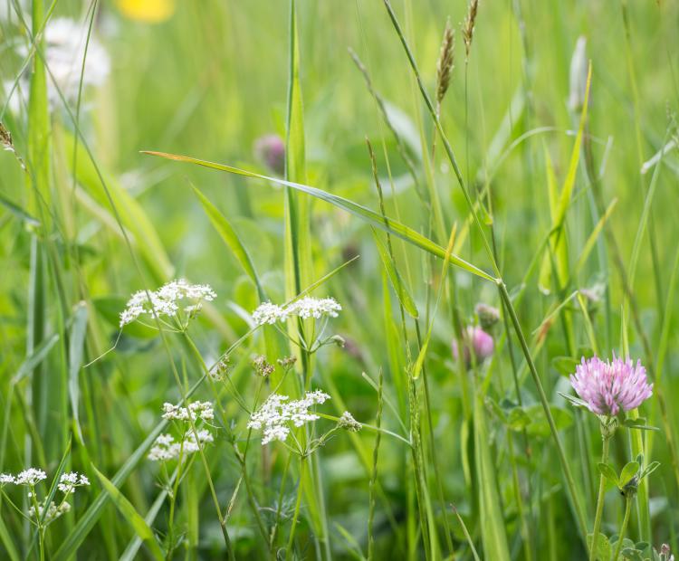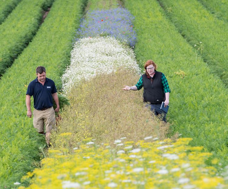
The big picture: using wildflower strips for pest control
They may be beautiful, but these strips prove pretty deadly for every farmer's mortal enemy: aphids
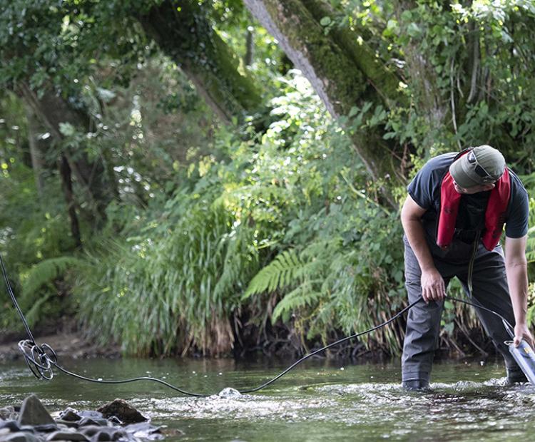
Fine-grained sediment washed off agricultural land as a result of soil erosion, and from additional sources in landscapes including eroding channel banks and unpaved roads, represents one of the most pervasive water pollutants globally.
Excess sediment inputs to rivers, lakes, reservoirs and estuaries degrade water quality and aquatic ecology and increase water treatment costs. Siltation reduces navigability and increases flooding risk.
The need to target management of the sediment problem underscores the need for reliable information on the key sources involved and here, sediment source fingerprinting, using a variety of sediment tracers has experienced growing uptake globally.
In recognition of the growing number of end-users, Rothamsted has recently developed data user-friendly processing software in R, using Shiny app, to step end users through critical decisions for applying tracer data to generate robust sediment source apportionment.
The tool can be freely obtained by filling in the request-form, below. For a publication giving overview of the application of the SIFT model to an agricultural catchment in the UK, please following this link:
This software is © copyright Rothamsted Research Ltd 2018 and licenced under the terms of the Apache License 2.0.
You must cite: Pulley, S.; Collins, A.L. (2018). SIFT: SedIment Fingerprinting Tool v.1.0.0. Rothamsted Research. https://doi.org/10.23637/model-SIFT-1-0
For more information please contact:
Professor Adie Collins
Dr Simon Pulley