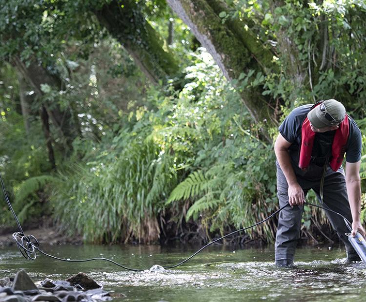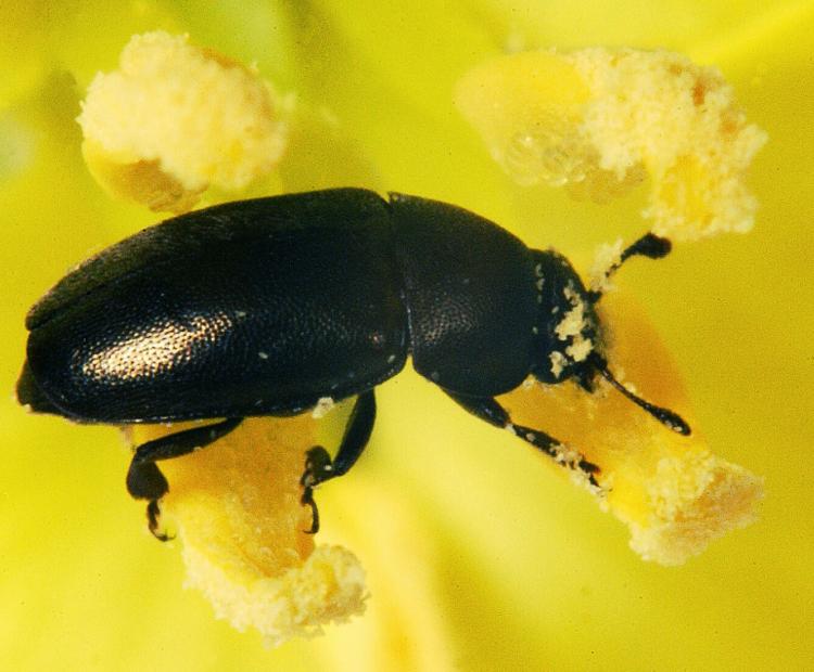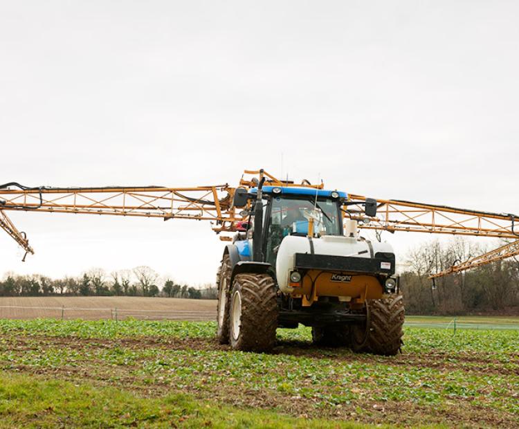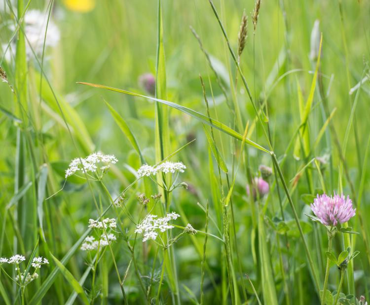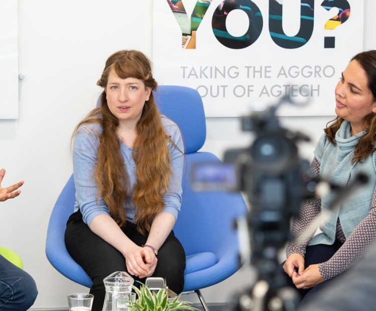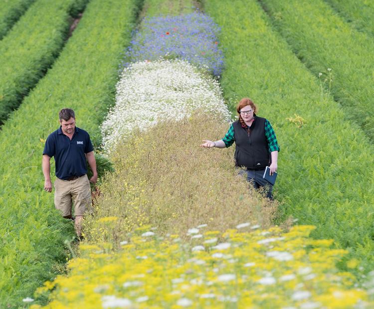
The big picture: using wildflower strips for pest control
They may be beautiful, but these strips prove pretty deadly for every farmer's mortal enemy: aphids
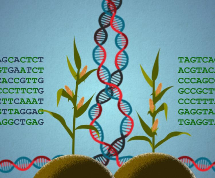
The Africa Soil Information Service (AfSIS) project is funded by the Bill and Melinda Gates Foundation. The goal of AfSIS is to increase smallholder farmer (SHF) productivity and to promote national and private sector policy changes towards more sustainable agricultural production. The project puts a particular emphasis on soil health and associated geospatial information, achieved through innovative information products and services.
In addition, the project expects to increase the returns on public investments in agriculture and sustainable agricultural production growth by informing research programmes, governments, businesses, decision makers and development practitioners about opportunities and constraints for increasing agricultural production. Equally important is to achieve this goal whilst sustaining other ecosystem services at geographical scales ranging from individual fields to the entire African continent.
Following an open innovation and co-innovation approach, the technologies and methodologies developed by AfSIS are freely available. Moreover, they are also widely applicable to other regions of the world, which is a potential the project will seek to explore further.
AfSIS objectives reflect its four main work streams:
The main outputs of the project assist national programmes in at least four African countries to transition to modern agricultural research and data collection practices that are expected to result in faster agricultural development. For example, for Ethiopia more than 15,000 soils have been analysed and mapped, resulting in more appropriate fertiliser blends being produced and applied. In Tanzania, more than 10,000 soil samples with crop information have been collected and key crop distributions mapped. Recent activities in Ghana and Nigeria produced similar products for food basket areas, using the same steps and processes.
Project outputs are also informing national and global policy and initiatives in agriculture that address key environmental threats in Sub-Saharan Africa (SSA) with, for example, soil and landscape monitoring systems that are compliant to international standards.
AfSIS will also continue to focus on distribution and capacity building for its technologies with governmental and non-governmental organisations in e.g., Ethiopia, Ghana, Nigeria and Tanzania. Thereby, the project contributes to knowledge distribution, public engagement and awareness, and sustainable resource management, demonstrating the value of modern soil and landscape information services.

Soil and Plant Scientist

Systems Agronomist

Geophenomics Scientist
Key organizations involved in the delivery of this project include:
Collaborating projects are:
Near-real-time remote sensing time series and derivatives from e.g. various NASA, ESA and/or our own UAV-based land cover monitoring products at africagrids.net and on our map portal.
AfSIS will also continue to focus on mainstreaming and capacity building of its information technology with governmental and non-governmental organizations in Ethiopia, Ghana, Nigeria and Tanzania by providing support to: